FOCUS AREA
WATER
COMPLETED PROJECTS
Water As A Sacred And Scarce Resource
Among First Nations Communities In Canada
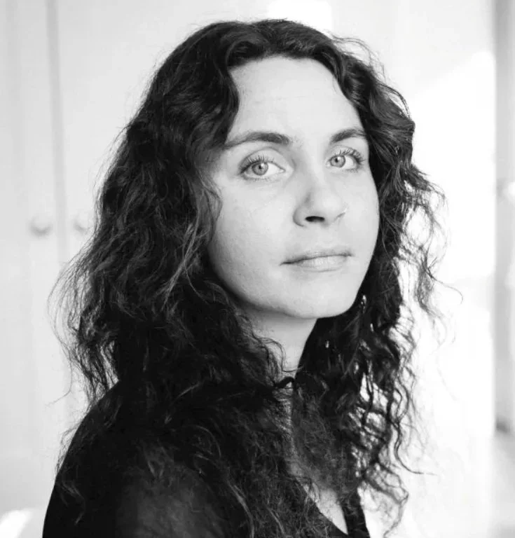
Sara Hylton • Alberta & Ontario • 2021
Canada holds nearly one-fifth of the world’s freshwater, yet some First Nations communities have lived under boil water advisories for years.
In First Nations communities in Alberta and Ontario, Sara Hylton used photography and multimedia storytelling to show what that reality means in daily life, centring the people living with water insecurity and their relationship with water.
-
For families living under long-term water advisories, access to safe drinking water shapes everyday routines at home.
Water insecurity is experienced differently from one community to another, rather than as a single national story.
The effects extend beyond drinking water to people's relationship with the land and water around them.
Water carries cultural and spiritual importance that is often missing from public discussion of boil water advisories.
-
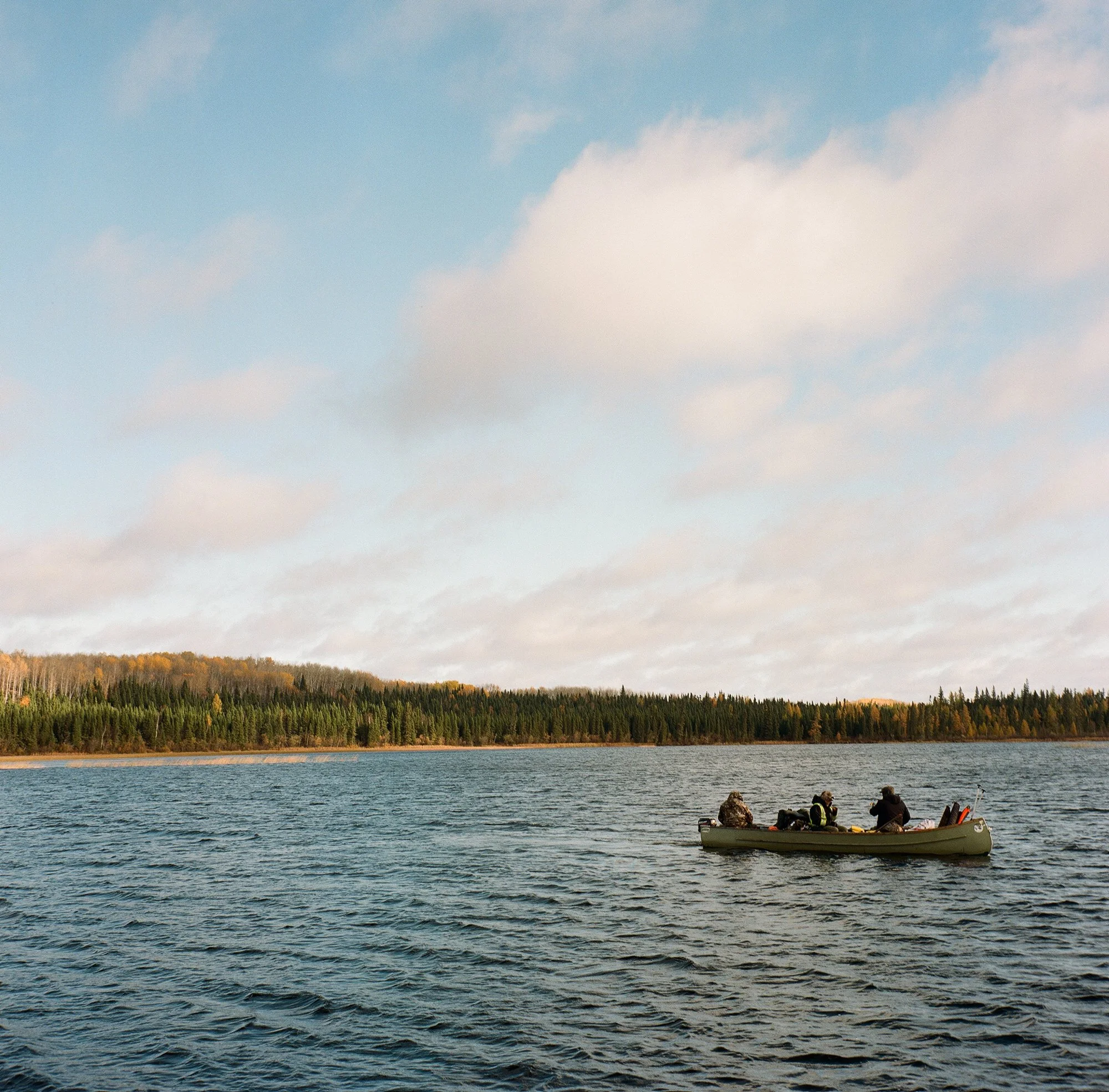
Sara’s photographs from Neskantaga First Nation accompanied Brandi Morin’s Canadian Geographic feature, We Had All Kinds of Water.
Recognition followed with a Silver National Magazine Award for Photo Essay and Photojournalism.
National media and digital storytelling brought the daily reality of long-term water insecurity to wider audiences.
Her images created a lasting visual record of a community that has lived for decades without reliable access to safe drinking water.
The Stability Of Canada’s Last Intact Ice Shelf
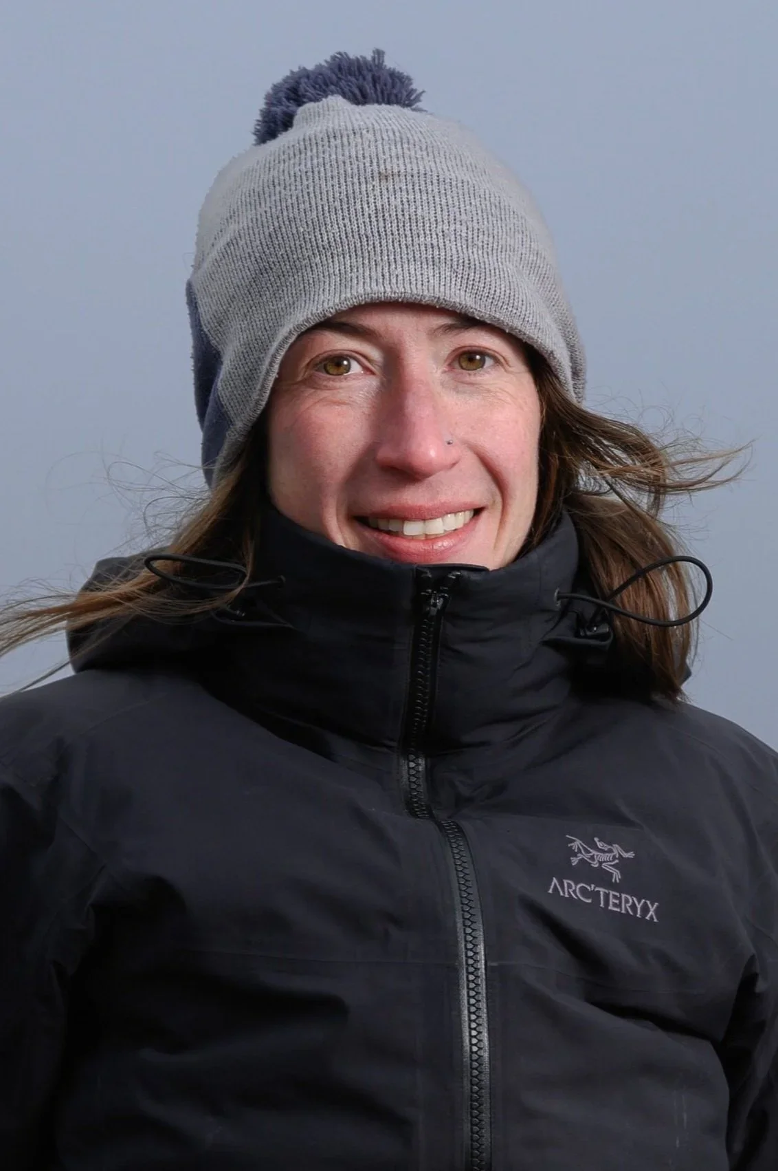
Anna Crawford • Nunavut • 2022
When part of the Milne Ice Shelf broke away in 2020, a rare ecosystem - the last of its kind in Canada - disappeared with it.
On the first expedition back to Milne Fiord after the collapse, Anna Crawford's team documented the changes and collected new data to track the future of the remaining ice shelf and glacier.
-
The 2020 breakup of the Milne Ice Shelf was linked to the drainage of the last epishelf lake in the Canadian Arctic.
A three-kilometre ice-thickness profile established a baseline for tracking future changes to the Milne Glacier tongue.
A new aerial surveying system successfully mapped a nine-square-kilometre section of the ice shelf.
-
Established a baseline for measuring future changes to the Milne Glacier tongue.
Demonstrated a new aerial surveying system that could be used for future data collection over ice shelves and glaciers.
Shared the loss of the Milne epishelf lake through national media, public talks and scientific conferences.
Initiated collaboration with environmental expert Joseph Shoapik, from Ausuittuq (Grise Fiord), Nunavut.
-
Last Bastion of Ice — Canadian Geographic
Milne Ice Shelf Collapse: The Loss of an Arctic Ecosystem — Royal Museums Greenwich
Glaciologist Using 3D Models to Study Loss of Shelf Ice at Milne Fiord — Nunatsiaq News
Regime shift in high Arctic fjord signals the vulnerability of the Arctic’s Last Ice Area
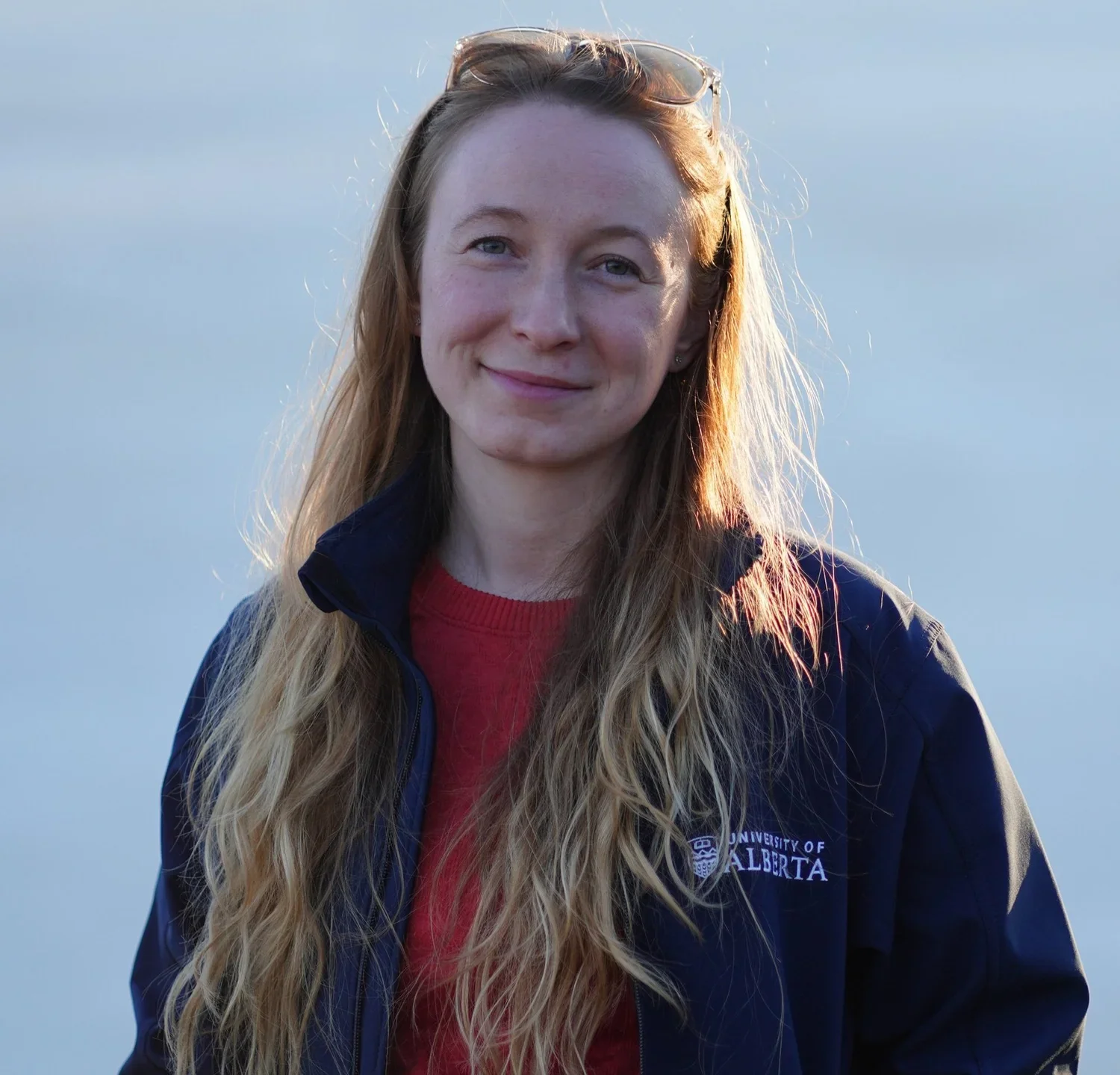
Kasia Staniszewska • Yukon River Basin • 2022
As permafrost thaws and glaciers retreat, contaminants stored in northern landscapes can move in new ways.
Sampling the Yukon River and its major tributaries in Canada, Kasia Staniszewska traced where mercury comes from and how a changing climate could alter its movement through the watershed.
Mercury Sources And Transport In The Yukon River Basin
-
Glacier-fed rivers and rivers draining mercury-rich bedrock emerged as the largest source of mercury to the Yukon River.
Most of that mercury came from naturally occurring sediments scoured from currently or previously glacierized landscapes, rather than pollution sources.
Mercury concentrations were lower in landscapes with thawing permafrost landforms and placer mining.
More biologically potent forms of mercury peaked at low concentrations during spring river breakup.
As glaciers shrink, their contribution of mercury to the Yukon River is expected to decline.
-
Expanded sampling from eight planned sites to eleven major tributaries of the Yukon River in Canada and boating along the river mainstem.
Generated new data on mercury concentrations in water and sediments across the basin.
Findings led to follow-up sampling to test how mercury movement changes between seasons and years.
The work is contributing to a longer-term picture of how climate change could alter mercury transport through the Yukon River Basin.
Beneath The Surface: Using ROVs To Reveal The Impacts Of Quagga Mussels On The Great Lakes
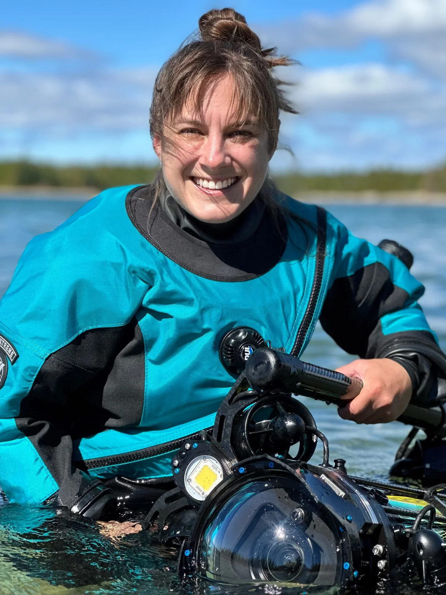
Yvonne Drebert • Great Lakes • 2022
The Great Lakes are becoming clearer, but that clarity comes at a cost.
In All Too Clear, Yvonne Drebert used cutting-edge underwater ROVs to document how invasive quagga mussels are transforming the Great Lakes, bringing ecological changes rarely seen beneath the surface into view.
-
Quagga mussels have transformed the Great Lakes on a vast scale, filtering the water and redirecting nutrients through the ecosystem.
Increasing water clarity can conceal profound ecological change beneath the surface.
Food that once circulated through open water is increasingly concentrated on the lake bottom, reshaping the food web.
-
Aired nationally as a three-part TVO Original and one-hour documentary special.
A 20-minute cinematic version became part of Science North’s permanent exhibits in Sudbury.
Nominated for the Rob Stewart Award for Best Science or Nature Documentary Program or Series at the 2025 Canadian Screen Awards.
Reached Great Lakes communities through theatrical screenings, festivals and public events.
Expanded to U.S. audiences through PBS in 2026.
-
Watch the Film - All Too Clear
All Too Clear — Inspired Planet
All Too Clear: Beneath the Surface of the Upcoming Feature Film — Canadian Geographic
Documentary Filmmakers Find 1895 Steamship Wreck in Lake Huron — Canadian Geographic
A new observation of lake whitefish Coregonus clupeaformis spawning behaviour
The Exploration Of Understudied Invertebrate Communities In The Globally Unique And At-Risk Saguenay Fjord Ecosystem
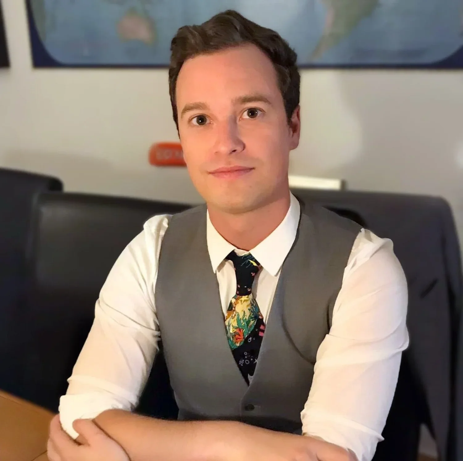
Ryan Eagleson • Québec • 2022
The Saguenay Fjord is best known for its whales, but some of its most remarkable inhabitants live far below them.
With underwater cameras and an ROV, Ryan Eagleson explored the fjord floor and its steep underwater cliffs, documenting deep-water invertebrate communities that had rarely been seen.
-
Deep below the surface, the Saguenay Fjord was rich with corals, sponges, anemones, crabs, jellyfish and other invertebrate life.
ROV surveys revealed underwater cliff habitats that had never before been explored at several locations.
The team observed anemones that may represent species previously unknown to science.
Surveys identified areas of the fjord that warrant further exploration and long-term monitoring.
-
Established a new method for exploring and monitoring deep-water habitats in the Saguenay–St. Lawrence Marine Park.
Collected extensive underwater imagery now available for education and interpretation in the region’s parks.
The project led to a second round of fieldwork supported by the National Geographic Society’s Exploration Technology Lab.
That follow-up expedition returned to the same sites with deep-sea cameras and expanded the ROV surveys begun through the Trebek grant.
Early Sea Ice Thickness Monitoring
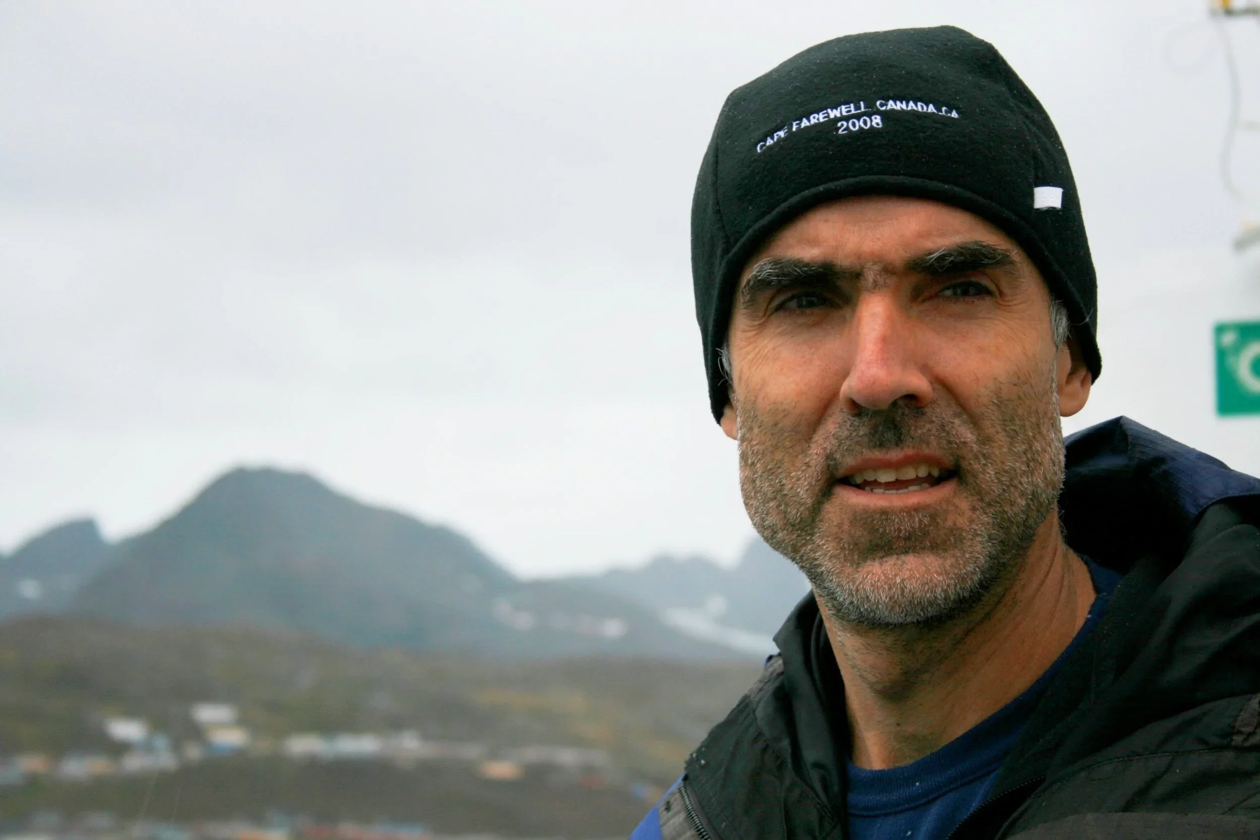
Bruno Tremblay • Nunatsiavut & Eeyou Istchee • 2022
For many northern communities, knowing when ice is safe can shape decisions about travel, harvesting and daily life.
Working with northern partners, Bruno Tremblay developed a low-cost buoy that can be deployed before freeze-up, providing earlier information about ice thickness as winter ice begins to form.
-
A small buoy deployed in open water can track ice growth from the beginning of freeze-up through the end of break-up
The first prototype successfully measured ice thickness through the 2024–25 winter at the Gault Nature Reserve in Quebec.
A second buoy was successfully deployed on Lake Mistissini in fall 2025, extending the system from sea ice to freshwater lakes.
Ice thickness and temperature data is transmitted remotely and shared with communities in real time.
-
Turned a community-identified need for earlier ice information into a working, low-cost monitoring system. The buoy is rechargeable and can be deployed in open water by a single operator.
Expanded to Lake Mistissini in 2025 and Chisasibi for the upcoming 2026-2027 winter after the Cree Government identified a similar need for freshwater ice monitoring.
The system has been upgraded with lithium-titanate batteries rated to −50°C, extending reliable operation into the extreme cold of the High Arctic
Created a web interface giving communities real-time access to ice thickness and temperature data.
Mistissini is exploring an after-school program that would bring Elders and youth together to build the buoys.
Building on the success of the first-generation buoy, a second-generation system is now under development. It will use acoustic sensors to measure ice thickness and snow depth throughout the spring and during warm periods, when temperature measurements alone become less reliable.
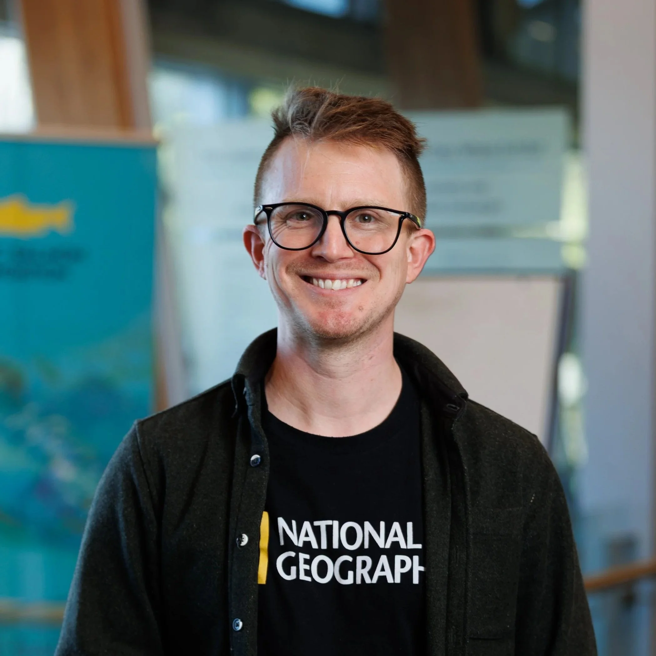
Brian Timmer • British Columbia • 2023
Maps and photographs from the 1970s documented kelp forests in the northern Salish Sea in remarkable detail.
Fifty years later, Brian Timmer retraced those historic surveys with the Kelp Rescue Initiative and other partners, revealing dramatic changes in kelp forests and other nearshore habitats.
Underwater Forests In A Warming Sea: Exploring 50 Years Of Change To Critical Nearshore Habitat In The Salish Sea
-
About 97% of bull kelp forests surveyed in the northern Salish Sea have disappeared over the past 50 years, a loss of roughly 550 hectares.
The decline began well before the more recent extreme marine heat, revealing a longer history of climate-driven change.
The lost kelp forests once covered an area larger than Vancouver’s Stanley Park and provided important habitat for Pacific salmon and herring.
Many understory species documented 50 years ago have also declined sharply or disappeared from surveyed sites.
-
Established a 50-year baseline to track changes in kelp forests and other nearshore habitats.
Published the findings in the peer-reviewed journal Ecological Applications.
The Kelp Rescue Initiative is using the findings to identify where to focus kelp forest restoration.
Brian joined the Nanwakolas Council’s Expert Advisory Panel, sharing project data, maps and photographs to support First Nations-led kelp restoration.
Under the Ice
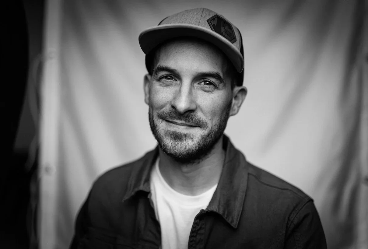
Andrew Budziak • Lake of the Woods, Ontario • 2023
Winter lakes may appear dormant, but life continues beneath the ice.
Andrew Budziak captured algae communities growing on the underside of lake ice in Lake of the Woods, producing some of the first detailed observations of a little-understood winter ecosystem at a time when seasonal ice is becoming less reliable.
-
Algae continue to grow beneath lake ice, even when the surface appears dormant.
These under-ice communities are a little-understood part of freshwater ecosystems during winter.
-
The project grew into Freeze the Future, expanding Andrew’s work on under-ice ecosystems beyond Lake of the Woods.
Citizen scientists are being trained to collect algae, water and environmental DNA samples beneath lake ice.
Samples are contributing to research collections and a growing record of freshwater ecosystems as winters change.
Andrew was named to The Explorers Club 50 Class of 2026.

Sustainable Fisheries Monitoring With Artificial Intelligence
Alexander Dungate • British Columbia • 2023
Fisheries generate vast amounts of video footage, but reviewing it by hand is slow, costly and inconsistent.
Alexander Dungate developed an AI system to automate fisheries video review and tested it with Ha’oom Fisheries, which represents five Nuu-chah-nulth Nations, and with commercial fisheries.
-
AI could identify catch and bycatch in fisheries video faster and more consistently than manual review.
The system offered a scalable approach to video monitoring for both Indigenous and commercial fisheries.
AI could analyze fisheries footage without training a new model for every application.
-
The success of the Trebek-supported pilot led to the creation of OnDeck AI.
In 2025, OnDeck was accepted into Y Combinator, bringing new investment and momentum.
Support from Canada’s Ocean Supercluster helped OnDeck continue developing its technology.
The company has since expanded its AI beyond fisheries into robotics, port security and offshore monitoring.
ACTIVE PROJECTS
Hidden In The Grass: A Year In Atlantic Canada's Eelgrass Ecosystems
Nicolas Winkler • Atlantic Canada • 2023
Atlantic Canada’s eelgrass meadows change with the seasons, supporting marine life, storing carbon and helping stabilize coastlines.
Over the course of a year, these eelgrass meadows are being photographed above and below the water, creating a four-season record of this changing ecosystem. Nicolas Winkler is also documenting the research and restoration work underway through the Community Eelgrass Restoration Initiative (CERI).
-
Eelgrass meadows provide habitat for hundreds of species, including fish and shellfish important to Atlantic fisheries and Mi’kmaq communities.
Researchers are working to determine how much carbon Nova Scotia’s eelgrass meadows store and how that varies from one meadow to another.
Eelgrass is declining in parts of Atlantic Canada under pressures that include warming waters, coastal development and invasive species.
CERI is testing different approaches to determine how to successfully restore eelgrass meadows in Nova Scotia.
-
Building a four-season photographic record of Atlantic Canada’s eelgrass ecosystems, including rarely seen winter conditions beneath the ice.
CERI is using Nicolas's photography to communicate its research on eelgrass biodiversity, blue carbon, and restoration.
The work is reaching public audiences through exhibitions and events, including a 2026 presentation on photographing overwintering eelgrass beneath the ice.
The Legacy of Forestry on Freshwaters
Dalal Emily Lucia Hanna • Across Canada • 2024
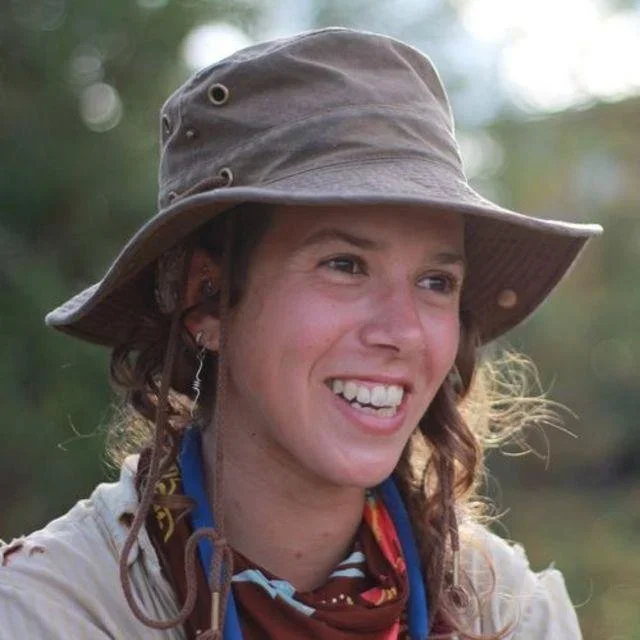
Forests can regrow after logging, but what happens to nearby streams over the decades that follow is less understood.
Watersheds with different logging histories offer a way to understand what recovery looks like over time. Dalal Hanna is combining environmental DNA and water-quality data with observations collected by students and communities to track that recovery.
-
Stream biodiversity and water quality can recover relatively quickly after logging, showing considerable resilience to disturbance.
Recovery is not guaranteed. Without measures such as maintaining streamside vegetation and properly designed stream crossings, impacts can persist for decades.
Logged watersheds do not recover at the same rate, making long-term monitoring important for identifying where freshwater ecosystems remain vulnerable.
Environmental DNA, combined with water-quality monitoring at remote field sites and historical land-use data, can reveal biodiversity changes that have been difficult to detect.
-
Building a national dataset to track freshwater recovery across 100 streams with different logging histories.
By September 2025, the team had sampled 46 streams, with fieldwork continuing in additional regions.
Engaged 300 classroom students through StreamBlitz, contributing local water-quality observations to public freshwater datasets.
The growing dataset will provide long-term evidence to better understand freshwater resilience following forestry activity.
Nicole Holman • British Columbia Coast • 2025
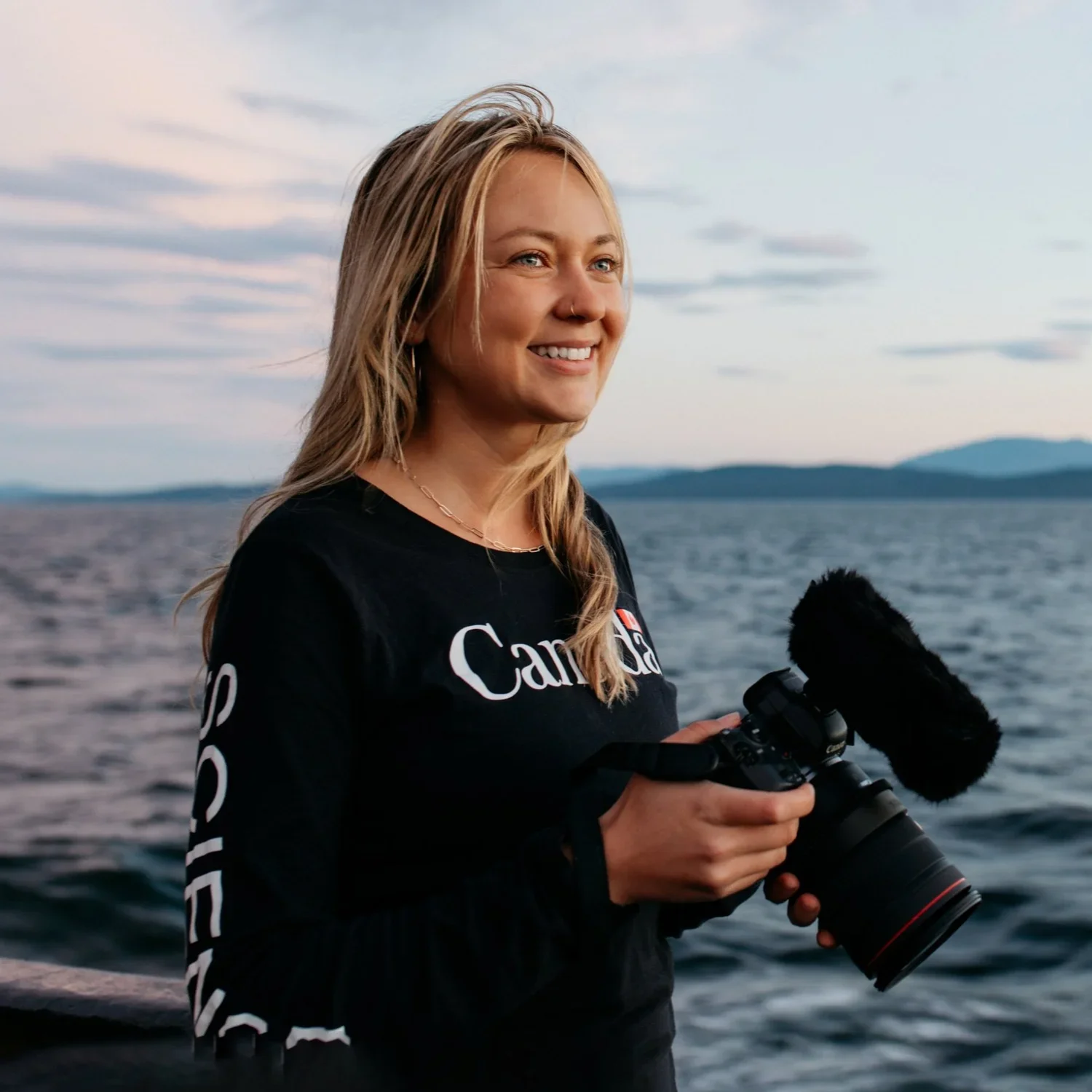
Far below the surface off British Columbia, seamounts and hydrothermal vents support some of Canada’s most biodiverse and least accessible ecosystems.
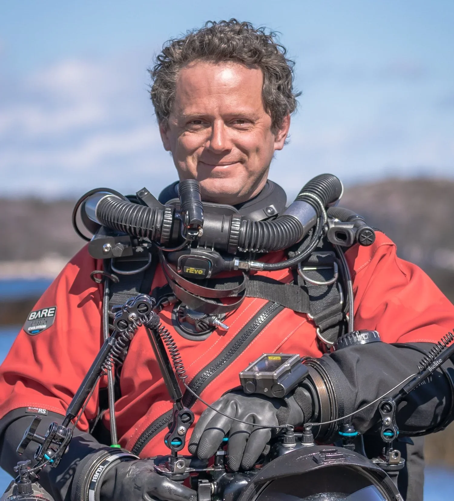
Nicole Holman’s documentary follows Fisheries and Oceans Canada scientists and Indigenous partners into the deep sea, bringing rarely seen ecosystems into view alongside the work underway to conserve them.
Deep-Sea Guardians: Protecting Our Planet's Last Frontier
-
Canada’s Pacific deep sea supports extraordinary biodiversity and plays an important role in carbon cycling, yet much of it remains difficult to access and poorly understood.
The proposed Tang.ɢwan · ḥačxʷiqak · Tsig̱is Marine Protected Area is home to more than 70% of Canada’s seamounts and hydrothermal vents.
Deep-sea mining and bottom-contact fishing threaten fragile deep-sea ecosystems, with mining potentially causing habitat destruction, sediment plumes and disruption of carbon cycling.
Scientific research and Indigenous knowledge are being brought together to understand these ecosystems and shape collaborative approaches to their conservation and management.
-
Creating a 15-minute documentary that brings rarely seen deep-sea ecosystems and the people studying them to public audiences.
Working with DFO scientists and Haida and Nuu-chah-nulth partners to bring scientific and Indigenous perspectives into the film.
Planning community screenings in partner First Nations territories, connecting coastal communities with deep-sea areas that are difficult to access directly.
Developing educational and public-engagement materials designed to build understanding of deep-sea conservation and Indigenous-led stewardship.
Tides Of Change: Using Ecological Modelling And Photography To Investigate Climate Impacts On The Bay Of Fundy Ecosystem
Liam Brennan • Bay of Fundy • 2025
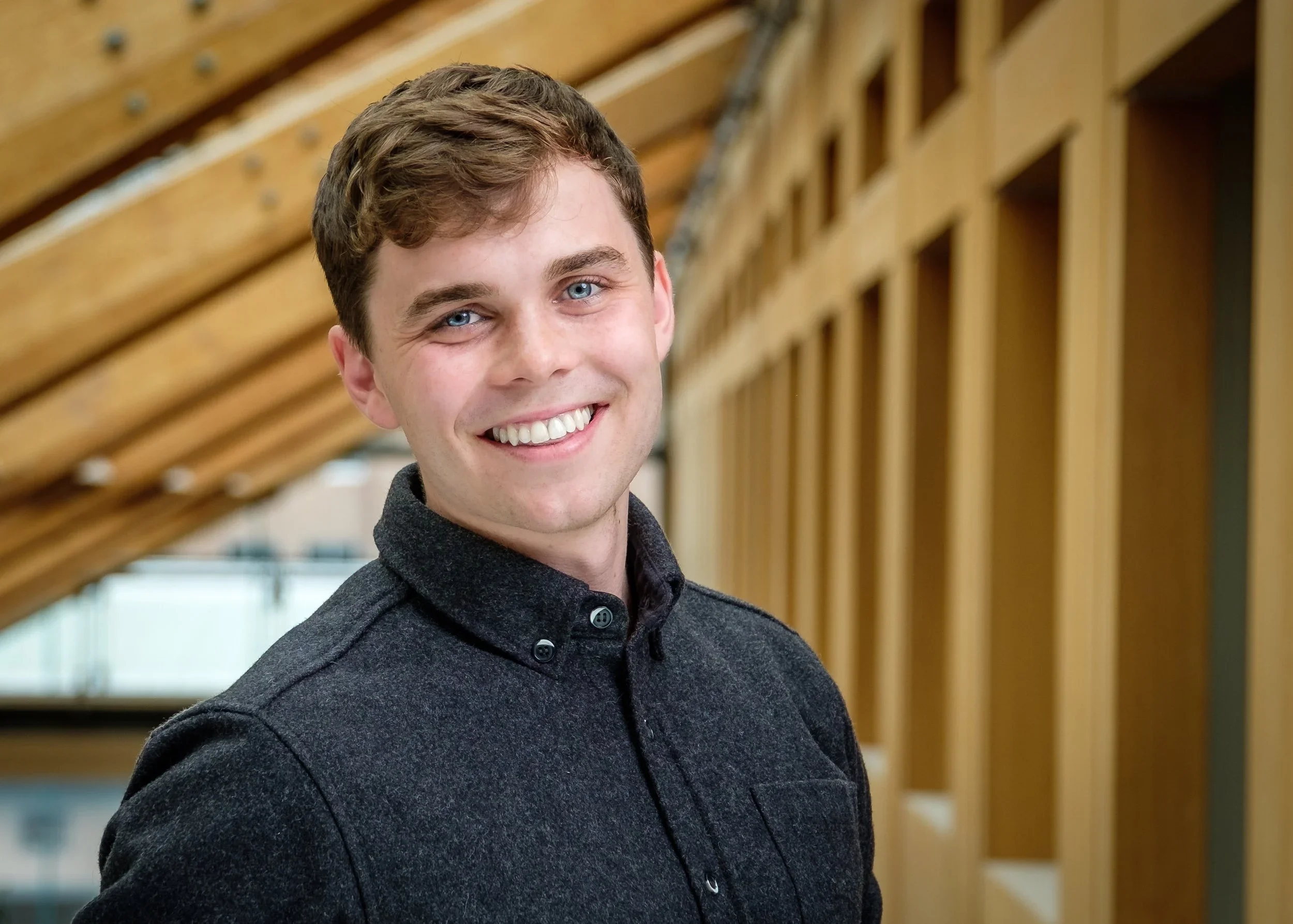
The Bay of Fundy is part of the rapidly warming Gulf of Maine ecosystem. One way that climate change impacts the region is through climate-regime shifts, which are large, abrupt climate-induced changes to the system that have been shown to have strong influences across different levels of the marine food web.
A key zooplankton species, Calanus finmarchicus, sits at the centre of this food web and is preyed upon by many marine animals, including the critically endangered North Atlantic right whale and red-necked phalarope (considered to be of special conservation concern). Both the North Atlantic right whale and red-necked phalarope have experienced dramatic population declines (>90%) in the 2010s (right whales) and the 1980s (phalaropes) in the Bay of Fundy region. Collecting new oceanographic data in the Bay of Fundy is a research priority to better understand the implications of recent ecosystem change for these two at-risk marine predators.
-
Calanus finmarchicus is a lipid-rich food source for North Atlantic right whales and red-necked phalaropes that frequent the Bay.
Since 2010, a climate regime shift has been associated with a major ecological shift in the Bay of Fundy, including a decline in the copepod Calanus finmarchicus and an increase in less nutritionally valuable, smaller copepod species
Changes in the abundance of this key prey species are affecting where these migratory predators find suitable feeding habitat.
Understanding how those relationships are changing could help identify where future marine conservation measures will have the greatest impact.
-
The project combines several datasets to address the research goals, including new data collected from the field from 32 stations across the outer Bay of Fundy, historical data from several published studies, data from the long-term AZMP (Atlantic Zone Monitoring Program) DFO (Department of Fisheries and Oceans) monitoring program, and phalarope data from the community science platform eBird.
Synthetic data analysis approaches allow Liam and his team to build an understanding of how the habitat has changed across different climate regimes.
The team is using a series of statistical models to identify how important feeding areas may shift as ocean conditions change.
Improving the understanding of how the ecology of copepods, right whales and phalaropes changes across climate regimes allows us to more effectively design conservation measures that coexist with human activity. The team is creating a conservation photography series that will bring rarely before-seen images of the Bay of Fundy’s changing ecosystem to wider audiences.
Confluences: A Human and Aquatic Cartography of the Laurentian System
M'hammed Kilito • St. Lawrence River • 2026
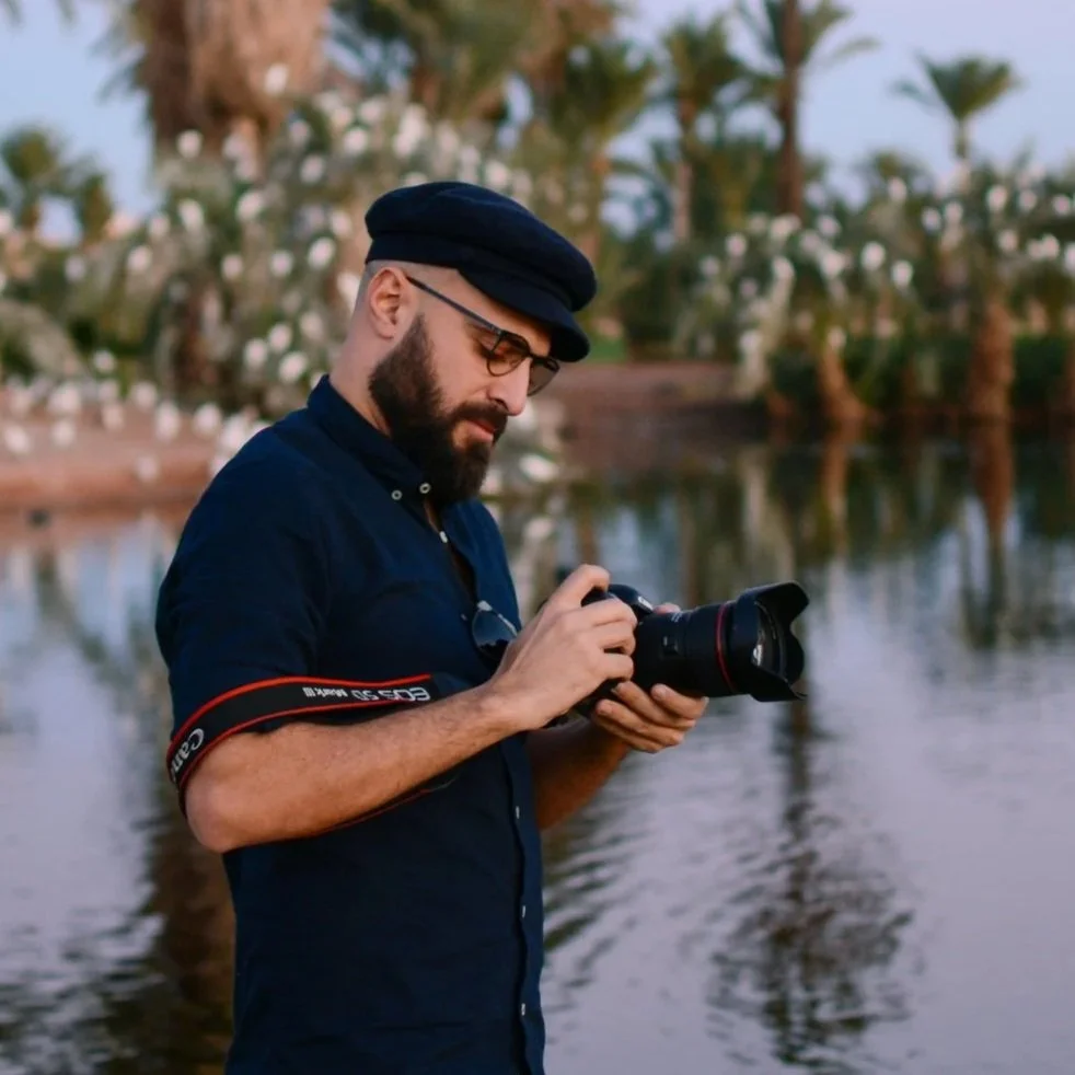
The St. Lawrence River runs 3,700 kilometres from Lake Ontario to the Atlantic, connecting communities whose lives are deeply intertwined with the water.
M’hammed Kilito will travel along its shores, using photography and conversations to document the people who depend on the river and the environmental changes they are witnessing.
-
The St. Lawrence links communities over 3,700 kilometres, from Lake Ontario to the Atlantic.
Industry, pollution and climate change are placing growing pressure on the river and the people whose lives depend on it.
Coastal erosion and rising seas are already affecting communities in the river’s eastern reaches.
-
Will create a photographic record of environmental and social change along the St. Lawrence, from Lake Ontario to the Atlantic.
Bring together perspectives from people whose lives and livelihoods are closely connected to the river.
Connect local experiences of environmental change to the larger forces reshaping the St. Lawrence system.
WILDLIFE
HISTORY & CULTURE
HISTORY & CULTURE
LAND
EXPLORE OTHER FOCUS AREAS