FOCUS AREA
LAND
COMPLETED PROJECTS
Exploring and Documenting Endangered Ancient Forests
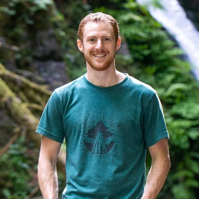
TJ Watt • British Columbia • 2021
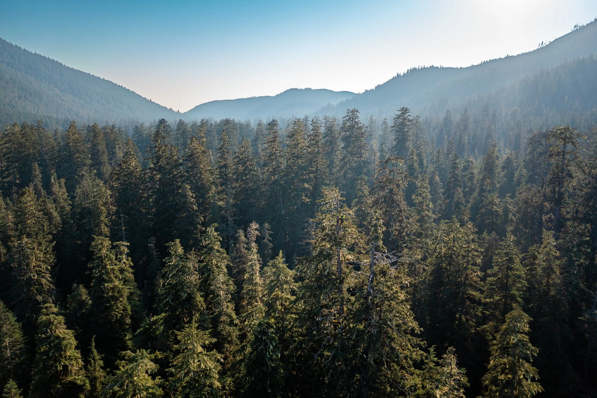
Ancient forests that took centuries to grow can disappear in days.
TJ Watt documented old-growth logging in some of British Columbia's most ecologically significant landscapes. His shocking before-and-after photographs revealed the destruction of forests with trees 500 to 1,000 years old, often far from public view.
-
Located one of Canada’s largest western red cedar trees on Flores Island
Captured before-and-after imagery showing loss of endangered ancient forests
Ground-truthing in the Quatsino region exposed errors in government old-growth mapping, including ancient forests that were subsequently logged.
-
Images supported large-scale public awareness campaigns around old-growth logging in British Columbia.
Photography supported efforts to advance B.C.’s commitment to conserve 30% of its land by 2030.
The work helped build support for Indigenous Protected and Conserved Areas and conservation financing for threatened old-growth forests.
TJ’s photography continues to bring national and international attention to the loss of ancient forests and the remaining old-growth landscapes at stake.
-
Ancient Forest Alliance — Old-Growth Conservation Campaigns
Nature-Based Solutions Foundation — Conservation Financing
The Guardian: Canada: images of felled ancient tree a ‘gut-punch’, old-growth experts say
The Washington Post: ‘Freak of nature’ tree is the find of a lifetime for forest explorer
Toronto Star: Giant trees still fall amid old-growth funding lag for B.C. First Nations
The Guardian: ‘A distressing reality’: our beautiful planet under threat – in pictures
The Mount Meager Glaciovolcanic Cave Project
Christian Stenner • British Columbia • 2021
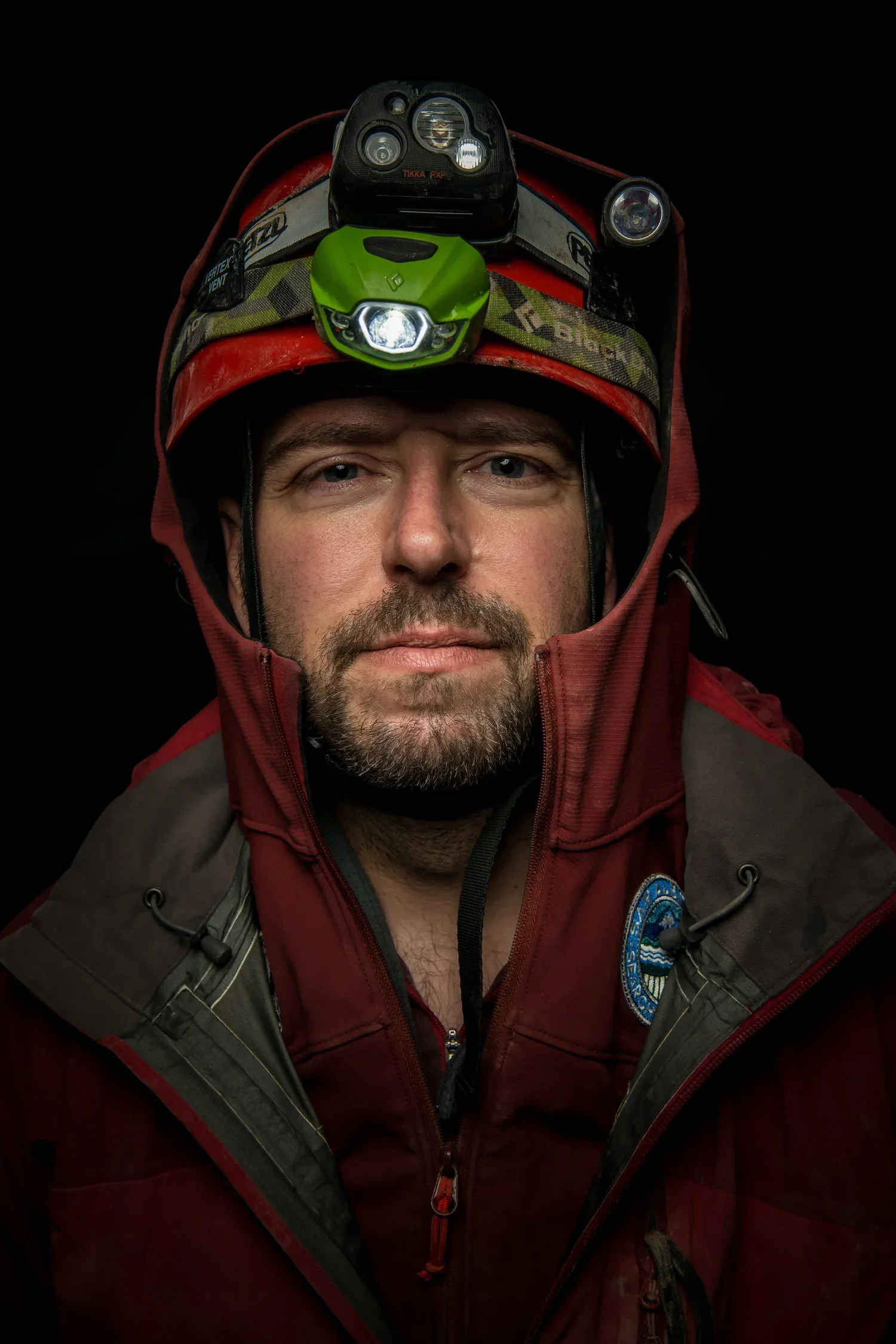
Beneath Mount Meager’s glaciers lies a volcanic cave system few people have ever entered.
An expedition led by Christian Stenner reached active fumaroles deep beneath the ice and collected the first direct measurements from a Canadian volcano. Along the way, the team sampled microbial life and tested NASA-linked robotic technology.
-
Recorded the first direct fumarole measurements from a Canadian volcano, including temperatures reaching 90.4°C.
Found that Mount Meager’s fumarole temperatures and gas concentrations were consistent with a nearly dormant volcanic system.
Found microbial life in cave samples collected from the extreme subglacial environment.
Mapped a passage beneath the glacier connecting the cave’s two main entrances.
-
Provided new volcanic hazard information relevant to more than 6,500 residents of the Pemberton Valley.
Advanced NASA Jet Propulsion Laboratory’s EELS robotic system through field testing beneath the glacier.
Established Mount Meager as an Earth analogue for studying icy volcanic environments beyond our planet.
Contributed to ongoing research into glaciovolcanic caves, microbial ecology and astrobiology.
-
Featured Project — Trebek Initiative
Sleeping Giant: Inside the Mount Meager Volcano — Canadian Geographic
Inside Canada’s Most Active Volcano with Christian Stenner — Canadian Geographic Podcast
Incredible Caves of Fire and Ice — National Geographic Explorer Classroom
There’s a Frozen Labyrinth Atop Mount Rainier. What Secrets Does It Hold? — National Geographic

Kehkashan Basu • Ontario • 2021
Young people are often told they will inherit environmental challenges.
Through Green Hope, Kehkashan Basu gave students a role in addressing them today, turning climate concerns into hands-on community projects while building the skills and confidence to lead change in their own communities
Empowering Children And Youth As Environmental Stewards
-
Hands-on environmental projects gave young people opportunities to turn climate concerns into action in their own communities.
Participants developed practical skills and greater confidence by leading their own projects.
Projects connected environmental learning to issues students encountered in their communities.
-
Young people gained opportunities to lead environmental projects at their schools and in their communities.
The program expanded access to hands-on environmental education for participating students.
The work supported Green Hope Foundation’s ongoing environmental education programming.
Constructing Foundations: Reimaging Housing Policy To Account For The Climate Crisis Across Inuit Nunangat
Jenine Otto • Inuit Nunangat / Nunatsiavut • 2022
In Nain, a changing climate is adding new pressure to homes already poorly suited to northern conditions.
Jenine Otto traced the housing crisis through failing foundations, inadequate insulation and persistent mould, while showing how colonial housing policies continue to shape conditions in Nunatsiavut.

-
Homes in Nain were often poorly suited to northern conditions, contributing to foundation damage, heat loss and mould.
Residents described costly repairs and heating bills as housing damage placed growing financial pressure on households.
Colonial housing policies and forced settlement continue to shape housing conditions in Nunatsiavut.
Changing sea ice is affecting travel between communities, access to the land and traditional activities.
-
Documented housing conditions and residents’ experiences through 24 interviews, home visits and community photography.
Engaged young photographers in Nain to document their community from their own perspectives.
Shared the project with audiences through CBC and local and regional radio.
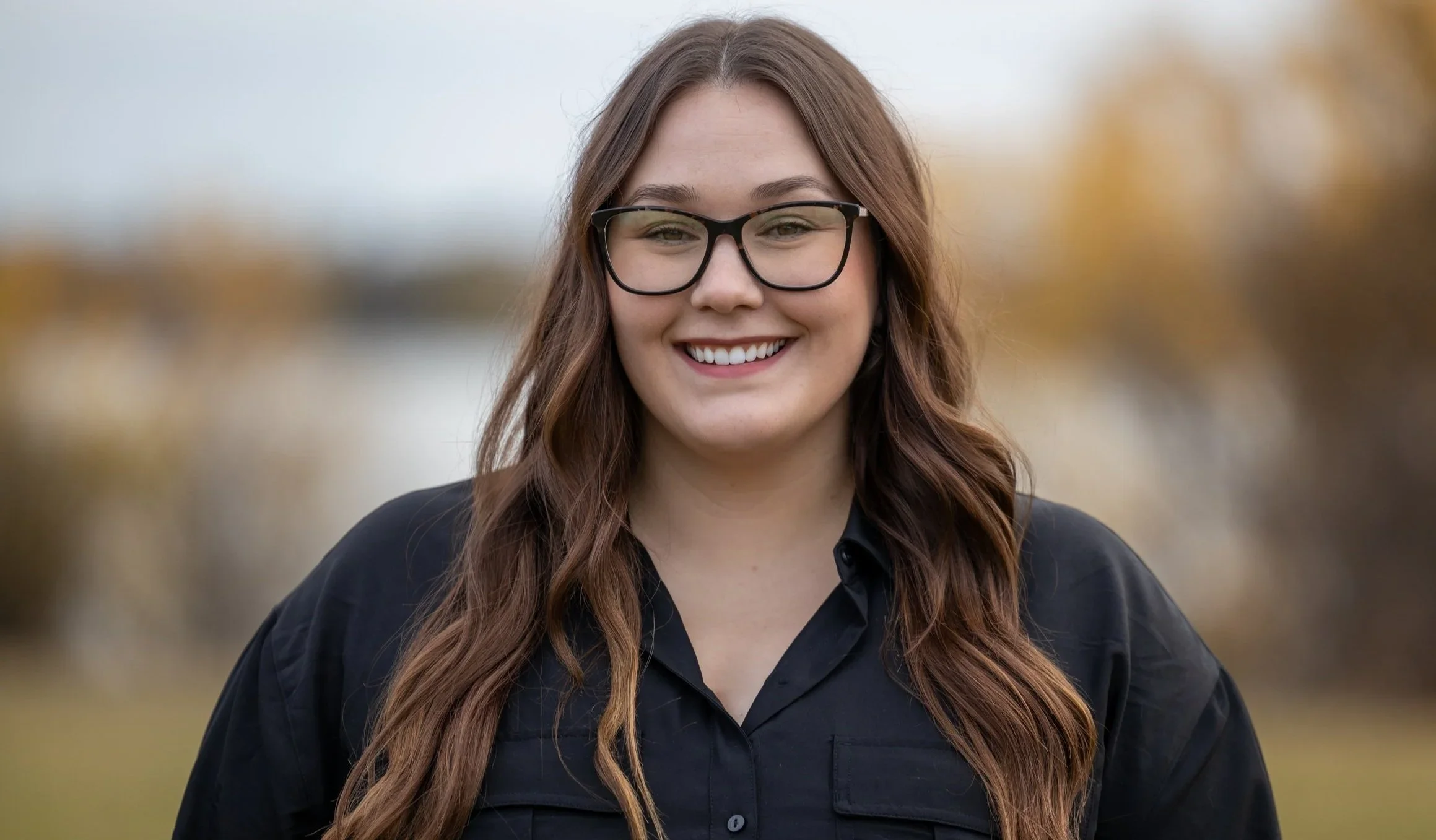
On The Edge: A Story Of Climate Change And Cultural Resilience
Kaitlyn Van De Woestyne • Tuktoyaktuk, Northwest Territories • 2023
The shoreline at Tuktoyaktuk is moving.
As erosion reshapes the coast, Inuvialuit community members are documenting changes that threaten homes, infrastructure and culturally important places. Kaitlyn Van De Woestyne and co-director Angus Cockney’s documentary Inuusivut Sapirnaqtuq (Our Life is Very Tough) follows the community as local knowledge and Western science come together to understand the changing coast.
-
Coastal erosion is rapidly reshaping the shoreline around Tuktoyaktuk, threatening homes, infrastructure and culturally important places.
Thawing permafrost and changing ocean conditions are accelerating shoreline loss.
Inuvialuit observations provide important evidence of how the coastline has changed over time.
Community knowledge and scientific monitoring reveal different dimensions of the changing coast.
-
Completed the 22-minute documentary Inuusivut Sapirnaqtuq (Our Life is Very Tough), centred on environmental change and community resilience in Tuktoyaktuk.
Documented Project Nuna’s work combining local knowledge with scientific monitoring of coastal erosion.
Brought community voices and experiences into a film intended for audiences beyond the Arctic.
Fighting Fire With Food
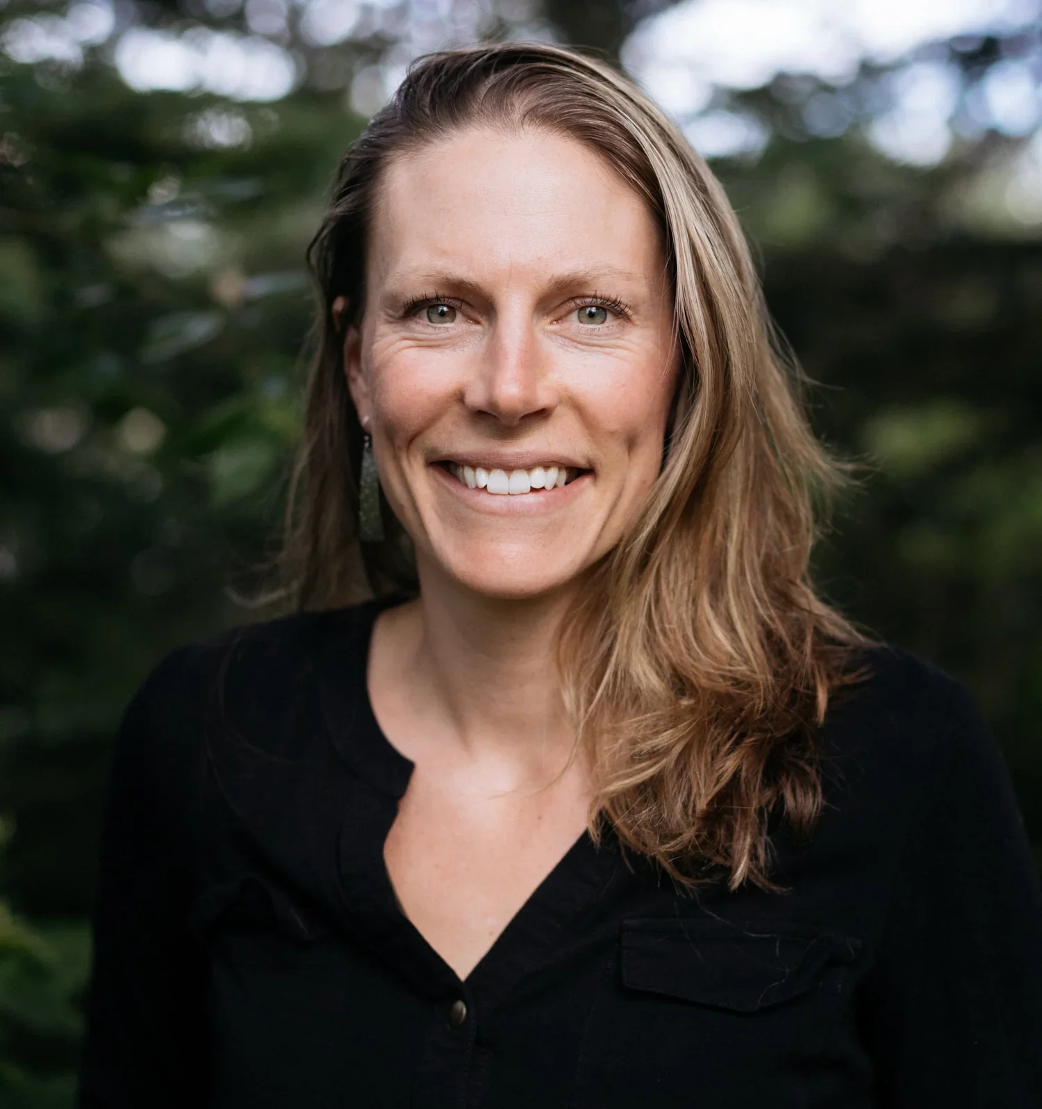
Kira Hoffman • Gitanyow Nation, British Columbia • 2023
Fire once helped shape the landscapes that fed Gitanyow communities.
Working with the Gitanyow Lax’yip Fire Guardians, Kira Hoffman supported the return of cultural burning after more than a century of fire exclusion. More than 200 hectares were burned, reducing wildfire risk while helping culturally important food and medicinal plants return.
-
Cultural burning increased the abundance and nutritional quality of culturally important food and medicinal plants.
Low- and mixed-severity burns reduced wildfire risk while increasing evacuation success.
After fire returned to the landscape, community members reported seeing plants they had not seen since childhood.
-
Supported the first cultural burn in the Gitanyow Lax’yip in more than 100 years, restoring fire to more than 200 hectares.
Helped remove regulatory barriers to cultural burning and advance recognition of cultural fire as a land-management practice in British Columbia.
The Gitanyow Lax’yip Guardians now support three full-time positions and are qualified as Type 2 wildland firefighters.
Gitanyow established British Columbia’s first huckleberry management area, where cultural burning will support berry production instead of replanting trees.
The work has expanded beyond the original project, including support for collaborative cultural burns with the Wet’suwet’en and Cheslatta Carrier Nations.
Mapping Forest Vulnerability to Wildfire-catalyzed Vegetation Change
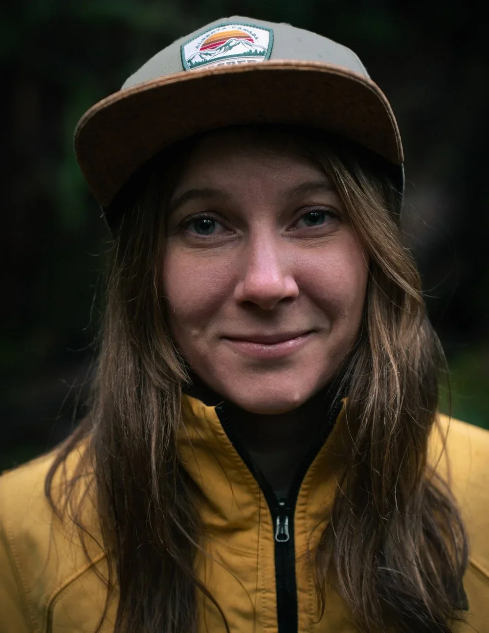
Ellen Whitman • Alberta / British Columbia • 2024
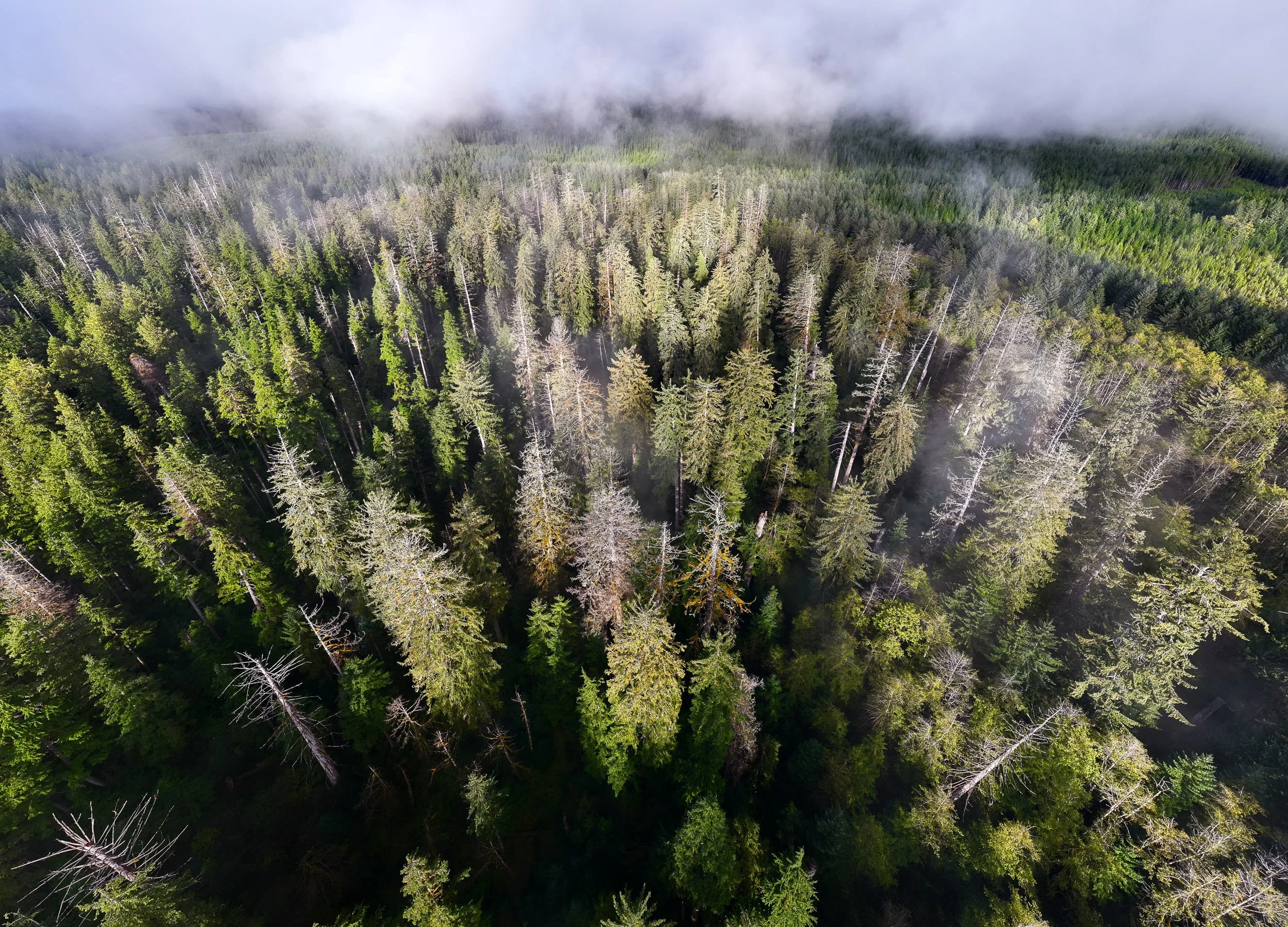
After a wildfire, some forests grow back while others may never return.
Across 120 burned and unburned sites, Ellen Whitman is tracking what happens in the decades after fire, from forests where trees return to places shifting toward different vegetation.
-
Post-fire recovery varied dramatically, from sites with no tree seedlings to others with robust regeneration.
Early observations suggest dry, warm and high-elevation forests may have greater difficulty regenerating after wildfire.
Moist sites and lodgepole pine-dominated forests appeared more likely to recover.
At northern sites, some conifer forests appeared to be shifting toward broadleaf trees rather than losing tree cover altogether.
-
Will identify where forests are most vulnerable to regeneration failure after wildfire.
Will produce public maps showing where forests are likely to recover and where changing conditions may require a different approach.
Results will be shared with communities and First Nations, with locally relevant data tailored to their regions.
Findings will be published in peer-reviewed journals and shared with audiences beyond the science
ACTIVE PROJECTS
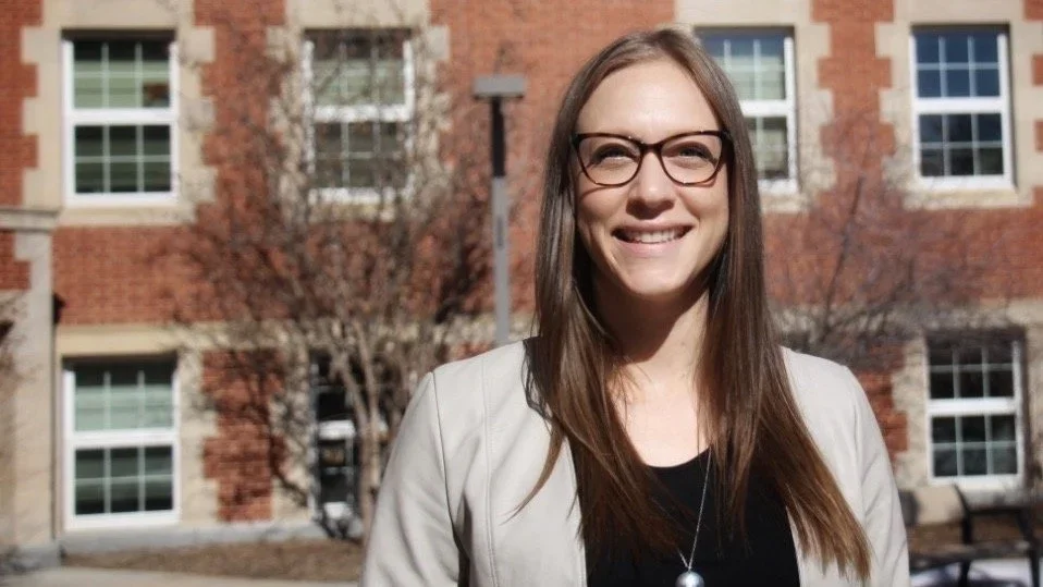
Indigenous Science, Technology, And Society Research And Training
Jessica Kolopenuk • Peguis First Nation, Manitoba • 2021
Science has often treated Indigenous peoples as subjects of research rather than producers of knowledge.
Through the Indigenous Science, Technology, and Society program, Jessica Kolopenuk is changing that relationship by supporting Indigenous-led training and creating space for Indigenous governance, values and priorities to shape science and technology.
-
Participation in science is not the same as having a say in how research is shaped and governed.
Indigenous knowledge can shape the questions science asks from the outset, rather than being introduced after research begins.
Who controls research, data and how they are used is central to Indigenous-led approaches to science.
-
SING Canada continued to provide Indigenous participants with hands-on training in genomics, bioinformatics and Indigenous approaches to bioethics.
New funding supported SING Canada's continued growth from 2022 to 2025.
The Indigenous STS program expanded into new research and training focused on Indigenous governance of science and technology.
In 2024, SING Canada brought together more than 140 participants for a global symposium on Indigenous leadership in genomics.
Disposable Forests: The Boreal Forest Sacrificed for Softness
Annie Sakkab • Boreal Forest, Canada • 2025
The boreal forest is one of the world’s largest intact ecosystems, yet parts of it are logged for products designed to be used once and thrown away.
Annie Sakkab is tracing the connection between disposable tissue products and industrial logging, following the supply chain from forests in Eeyou Istchee to consumers in Canada and the United States.

-
How far can tissue supply chains be traced back to specific logging areas in Eeyou Istchee?
Which areas of boreal forest connected to tissue production face the greatest pressure from continued logging?
What does logging-related forest loss mean for wildlife habitat and carbon storage?
What changes are the people of Waswanipi seeing in areas affected by industrial forestry, and how is this logging affecting a community situated so close to old-growth forests?
-
Make the connection between disposable tissue products and boreal forest loss visible to a wider audience.
Provide the Cree First Nation of Waswanipi with visual materials to support its outreach and advocacy efforts for forest protection.
Provide conservation partners with photography and video for public education.
Help consumers understand where tissue products come from and how their choices connect to boreal forests.
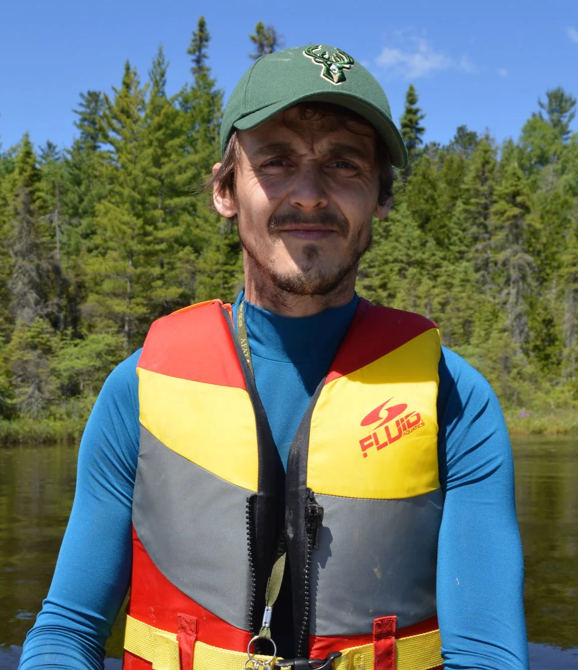
Dorian Gaboriau • Eastern Canada / Quebec • 2025
Sediment layers accumulating in boreal lakes preserve various proxies used to reconstruct thousands of years of fire activity and vegetation dynamics.
By analyzing the charcoal particles and pollen grains preserved within lake-sediment cores, Dr. Dorian M. Gaboriau and his team are reconstructing how boreal forests have changed through time in response to disturbances such as fire. New records from eastern Canada will contribute to a broader understanding of how boreal ecosystems responded to past shifts in fire regimes and climate conditions, and how the natural variability of these ecosystems compares with modern observational datasets.
Deciphering the Natural Variability of Past Forest Landscapes and Fire Regimes: a Meta-analysis on Lake Sediment Records
-
Charcoal particles and pollen grains preserved in lake sediments serve as long‑term proxies of wildfire activity and vegetation dynamics.
Boreal forests have undergone substantial changes in climate conditions, fire regimes, and vegetation dynamics before the beginning of modern observational records.
Millennial‑scale paleoecological archives provide essential baselines for evaluating recent changes in fire activity and vegetation dynamics relative to the natural variability of boreal ecosystems.
Comparing charcoal records across regions reveals where forest and fire regimes have followed similar trajectories or diverged, offering insights into spatial patterns of ecosystem response.
-
Holocene fire activity and vegetation dynamics in eastern Canada’s boreal forests show marked regional divergences, revealing distinct long‑term ecosystem trajectories.
Comprehensive and harmonized paleoecological datasets from understudied regions will strengthen our understanding of fire regimes and vegetation dynamics at continental scales.
Providing forest managers with robust baselines of natural ecosystem variability will help refine strategies to enhance forest resilience under changing climate and fire‑regime conditions.
Bring the long history of wildfire to broader audiences through an immersive art-science exhibition, fostering public awareness of boreal ecosystem change
A New Source of Earthquakes and Tsunamis
Shaping Vancouver Island's Iconic West Coast
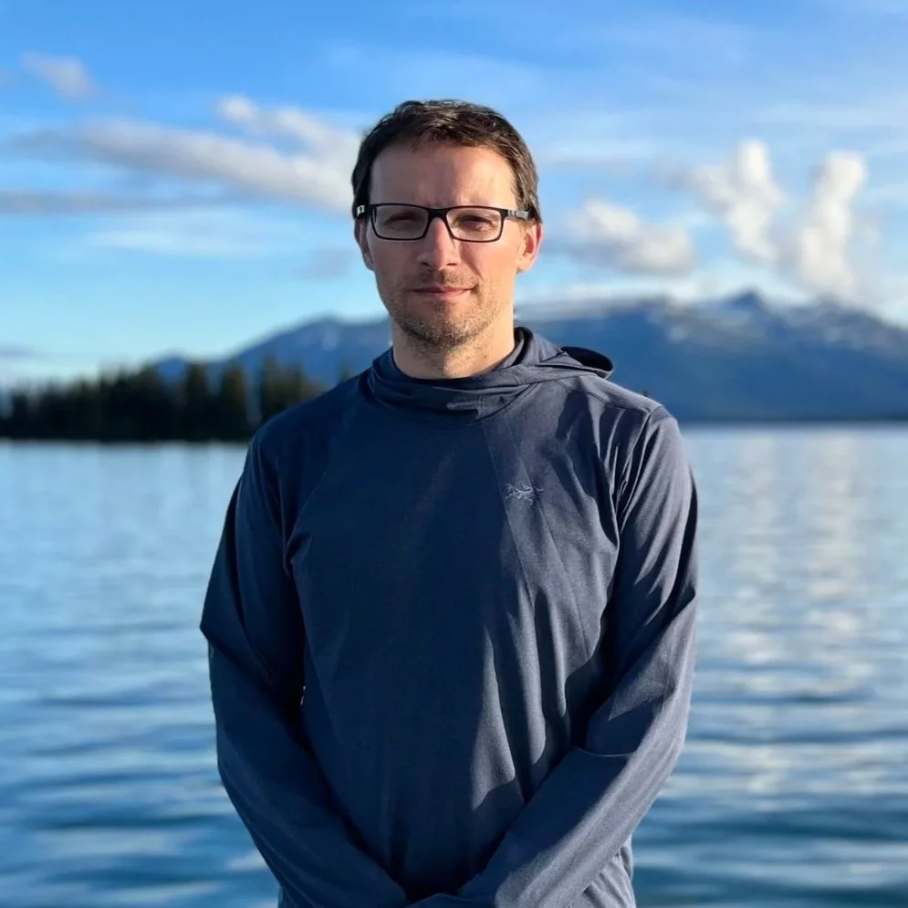
Edwin Nissen • Vancouver Island, BC • 2026
A newly discovered fault on Flores Island could hold clues to Vancouver Island’s largest earthquakes and tsunamis.
Edwin Nissen is investigating when the fault last ruptured and whether it was triggered by a major Cascadia earthquake, possibly the devastating event of 1700. The fault could offer a glimpse of what a worst-case earthquake and tsunami might look like along Canada’s Pacific coast.
-
The Cascadia subduction zone is capable of producing major earthquakes and tsunamis, including the earthquake of 1700.
Earthquake hazards on Vancouver Island are not limited to the offshore subduction zone. Faults within the North American plate can also rupture.
A newly discovered fault on Flores Island preserves evidence of a major prehistoric earthquake.
Establishing when that fault ruptured could reveal whether major Cascadia earthquakes can trigger additional fault ruptures on Vancouver Island.
-
Provide a new benchmark for understanding the largest earthquakes and tsunamis possible along Canada’s Pacific coast.
Improve the information used to assess earthquake and tsunami hazards.
Help strengthen early warning systems and evacuation planning for coastal communities.
Deepen understanding of the tectonic forces shaping Canada’s Pacific margin.

Raquel Alfaro Sánchez • Nunavut • 2026
Where the boreal forest gives way to tundra, even small climate changes can reshape the landscape.
Raquel Alfaro Sánchez will follow the Coppermine River in Nunavut to investigate whether trees and shrubs are moving north as the climate warms. Her expedition will bring ground-level observations to one of Canada’s least studied ecological boundaries.
Tracking Climate-Driven Shifts In Canada’s Latitudinal Treeline
-
The northern treeline marks the transition between boreal forest and Arctic tundra and is highly sensitive to climate change.
Warming temperatures can alter the growth and distribution of trees and shrubs near the limits of where they can survive.
Satellite observations can detect broad vegetation change, but ground observations are needed to determine which species are changing and how.
The Coppermine River crosses a vast and little-studied section of Canada's latitudinal treeline, leaving an important gap in ground-based observations.
-
Provide rare ground-based data from one of Canada’s least-studied ecological boundaries.
Build a clearer picture of how the boundary between boreal forest and tundra is changing.
Improve understanding of how northern ecosystems may respond as the climate continues to warm.